July Leighton Buzzard Cycle Route of The Month
July brings the start of the school holidays and we have a route that is virtually traffic free and is ideal for getting the young and old out cycling
Route Summary
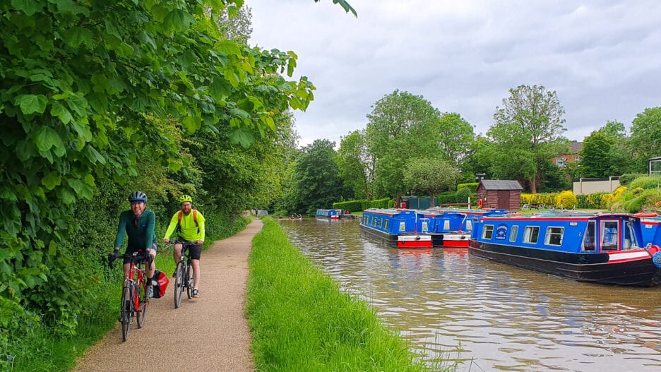
A route that is virtually traffic-free along designated cycle paths. You pass through the Ouzel Meadows, along the Grand Union Canal, around Tiddenfoot Waterside Park before returning along the disused railway that used to run to Dunstable. You finish at Parsons Close Recreation Park.
The route is suitable for all, especially families with children, due to it virtually all being on cycle paths, except for a short linking stretch on Grovebury Road where you can walk on the pavement if needed.
Highlights of The Route
Ouzel Valley: We start our route by cycling either side of the River Ouzel, first using Riverside Walk shared use paths before crossing the Rover Ouzel at a wooden bridge to enter the Ouzel Meadows part of the floodplain. You join the Grand Union Canal just before the Twelve Arches Weir (originally built with 12 arches, later expanded to 15).
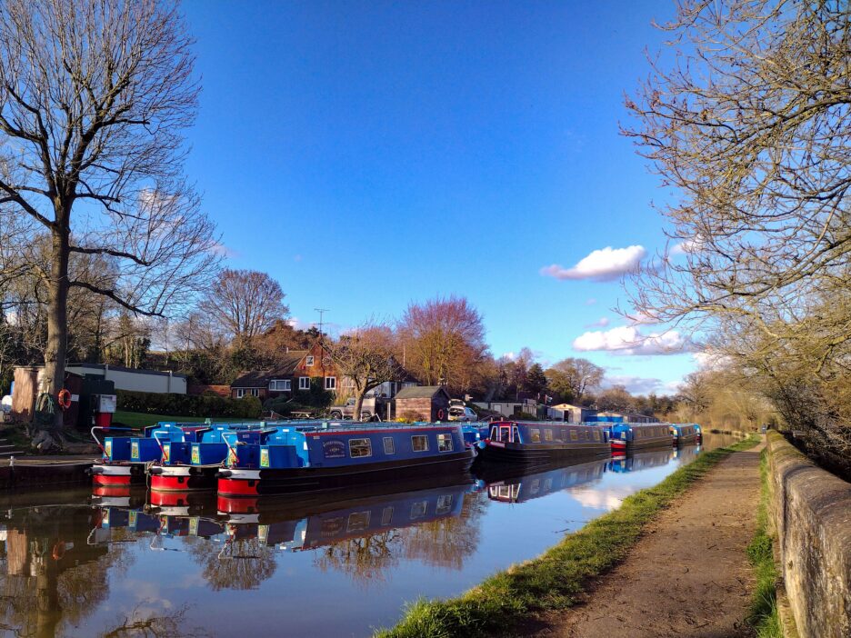
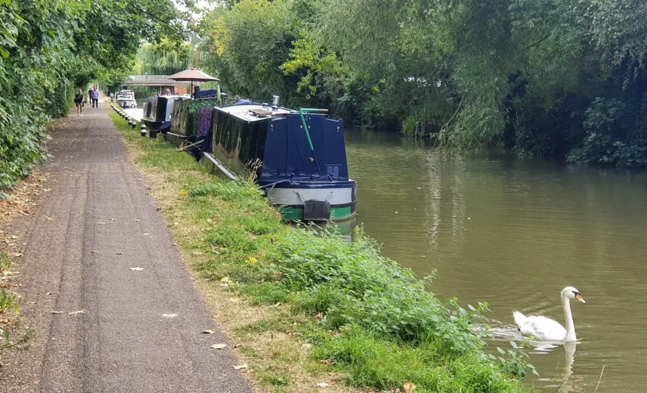
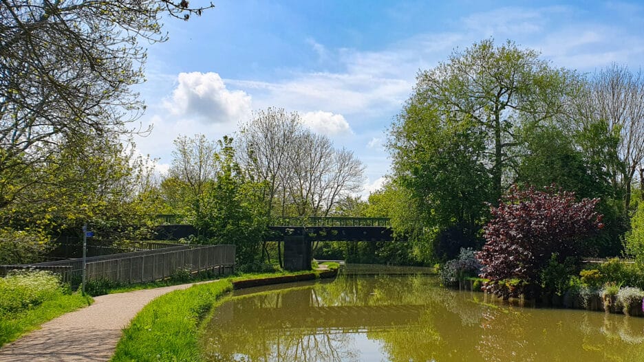
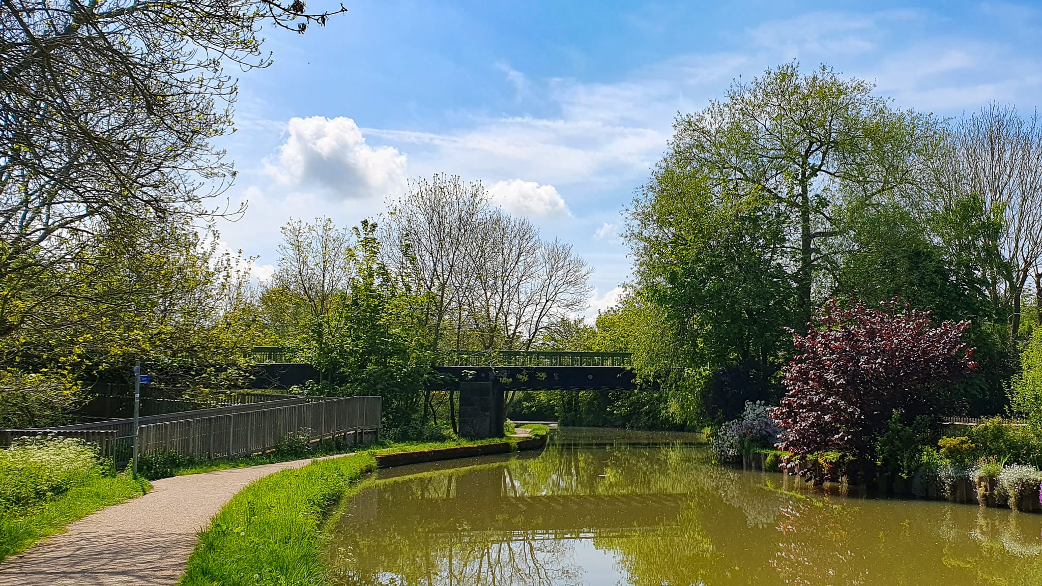
The Grand Union Canal: Is the UK’s longest canal, linking London and the Midlands. In its industrial heyday, it was used to transport heavy goods. It is now a pretty leisure waterway through Leighton Buzzard, with its surfaced towpath ideal for cycling and walking.
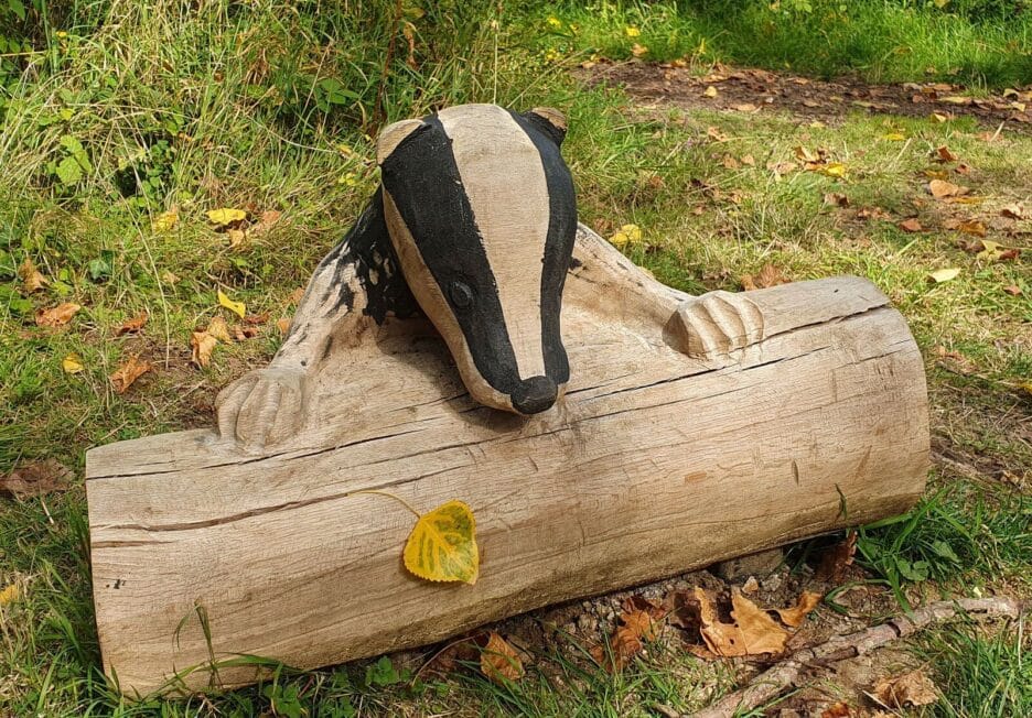
Tiddenfoot Waterside Park: A former sand quarry, has reverted to nature as wild plants and animals have been encouraged to reoccupy the land. The park is now a place for people and wildlife, open to anyone for walking or cycling on the surfaced paths. Wooden benches have been placed at several locations, providing pleasant vistas as well as an excellent spot for a picnic.
Parsons Close Recreation Ground: With its Adventure Play Area, Splash and Play facility (summer months), The Beach and a café make for an excellent finish to the ride and a chance to reward any young cyclists with an ice cream!
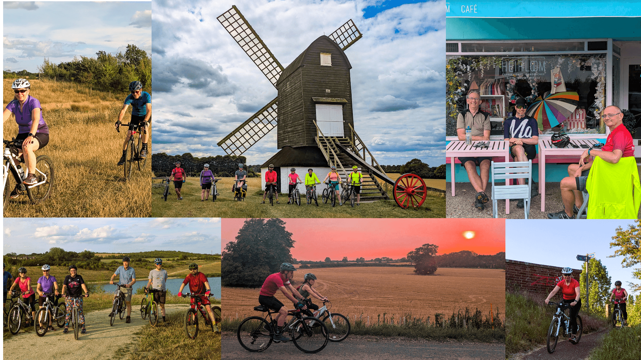
Photos From The Route


Leave a Reply